The Karhunkierros trail
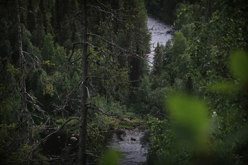
The Karhunkierros runs through Oulanka National Park from Hautajärvi in Salla to the eastern side of Ruka. Despite its name, which means Bear’s Ring, it is not a loop but a trail with two ends.
Private snowshoe hike on the Karhunkierros
Private, 10 km · 6 hours
✓ Free cancellation
from €350
Book on GetYourGuide
Snowshoeing in Oulanka National Park
Guided snowshoe walk · 3.5 hours
✓ Free cancellation
from €101
Book on GetYourGuide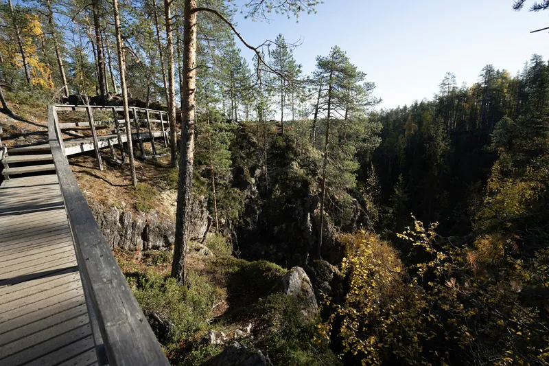
The Karhunkierros is a point-to-point hiking trail of 82 km. Its northern start is in the village of Hautajärvi in Salla, and its southern end at the Saarua car park in East Ruka; the official trailhead used to be in Ruka village and has moved there. In between, the trail follows the river valleys of Oulanka National Park and then climbs over the hills south of the park. Metsähallitus counts about 5,000 hikers who walk the whole route each season, with July and September the busiest months.
The trail is marked with orange paint, and posts every kilometre give the distance to Hautajärvi and to Ruka. Many hikers do not start at Hautajärvi but at the Ristikallio car park, which leaves 71 km. Shorter sections begin at the Oulanka visitor centre, at Juuma or at the Konttainen car park. The 9 km between the visitor centre and Taivalköngäs, where three hanging bridges cross the arms of the rapid next to a wilderness hut, are also the only part of the park open to cyclists in summer.
When the trail is open
The hiking season usually begins in late May, once the snow has melted and the spring flood has gone down. Around mid-May the rivers rise fast, and parts of the trail can be impassable for a while. The season lasts until lasting snow arrives, normally in October. The tourist association adds that flooding or slippery conditions can affect hiking in May and from October to November, and that the trail has no winter maintenance.
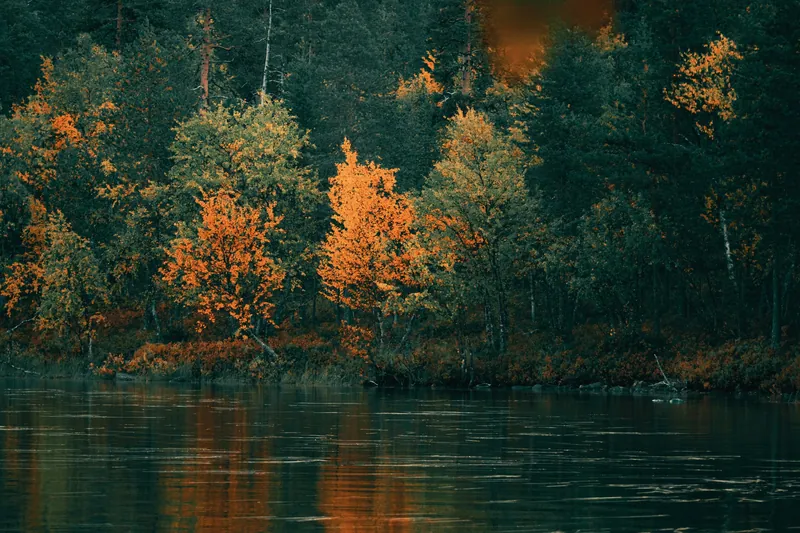
Summer brings insects. Mosquitoes usually hatch in Kuusamo around mid to late June, followed by blackflies, horseflies and biting midges. September avoids most of them and coincides with the ruska, when the slopes of Valtavaara turn red and yellow.
In winter Metsähallitus considers the full route unsafe. Parts of it can be experienced from February to April, and a ski trail between the visitor centre and Juuma is groomed about once a week. Expect to cover about 1.5 km an hour on foot in winter, and about 1 km an hour in deep snow.
Huts, water and camping
Along the trail stand seven open wilderness huts, three day huts and several lean-tos and kotas. The wilderness huts take 10 to 20 people depending on their size. Groups of five or more are expected to bring their own shelter, and Metsähallitus advises every hiker to carry a tent, because a hut may be full. In Oulanka itself you may camp only next to the marked rest areas, huts and campsites, and the same rule applies in the Valtavaara–Pyhävaara nature reserve at the southern end.

Boil surface water for five minutes before drinking it, or use a filter. Fires are allowed only at maintained, marked fireplaces with the wood supplied there, and banned entirely when a forest fire warning is in force. Carry your rubbish out; there are two sorting points along the trail. Mobile coverage drops out in the deep river valleys, so Metsähallitus suggests installing the 112 emergency app before you set off. Hammocks are allowed, as long as you protect the trees.
The hardest stage
Metsähallitus names the stretch from Porontimajoki to Ruka as the most demanding part of the trail. It climbs over Vattuvaara, Kumpuvaara, Konttainen and Valtavaara, and on its last 15 km there is no running water at all. Fill your bottles at Porontimajoki and plan for steep climbs at the end of a long walk.
Getting to the start
The usual plan, according to Metsähallitus, is to leave the car in Ruka and take a bus or taxi to Ristikallio or Hautajärvi. Hautajärvi is about 46 km from Ruka by road. In summer 2026 a daily bus linked Ruka Valley and Ruka village with Käylä and Hautajärvi from 1 June to 30 September, and shared taxis ran to the trailheads at Juuma, Kiutaköngäs and Hautajärvi. Timetables for 2027 have not been published. Parking at Hautajärvi costs a fee while the café there is open.
The NUTS Karhunkierros trail run takes place on 28 and 29 May 2027. According to the tourist association, more than 3,000 runners start on several routes, so the trails are busy that weekend.
Pieni Karhunkierros, the short loop
The Little Bear's Ring is a 12 km loop from the Juuma car park and one of the most popular hikes in Finland. Metsähallitus rates it as demanding because of its length and the height differences: there are many long, steep wooden staircases, and the steepest, at Kallioportti, has about 300 steps. The recommended direction is anticlockwise. The first 1.5 km are walked out and back on the same path, and the loop proper starts at Myllykoski. Green markings guide you.
You cross three hanging bridges, the longest at Harrisuvanto, and pass the old mill at Myllykoski and the 9-metre waterfall at Jyrävä. Myllykoski, Jyrävä and Harrisuvanto have fireplaces and dry toilets. There are no rubbish bins on the route, and the toilets at the start by the Ala-Juuma campsite are open only from June to September. In winter the loop usually stays open, trodden by snowshoers, but ice grips on your shoes are recommended for the stairs. The Oulanka National Park page describes the sights along the river.
Walking it with a guide
No guided summer hike on the Karhunkierros is sold from Ruka. In winter, MyTrail takes private groups on a 10 km snowshoe walk along part of the trail, with one slightly steeper section, a warm wild berry drink and a meal by the campfire. Clothing and boots are lent, the park fee is included, and the minimum age is 12. For a shorter day, Ruka Adventures leads a 2 to 4 km snowshoe walk at Juuma with pickup from Ruka.
In summer the closest guided alternative is the private hike in Riisitunturi National Park, listed under summer activities.
All tours side by side
No guided summer hike on the Karhunkierros is on sale from Ruka. The tours here walk parts of the trail on snowshoes in winter.
| Tour | Format | Duration | Age | Rating | From |
|---|---|---|---|---|---|
| Snowshoeing in Oulanka National ParkRuka AdventuresAfter a drive to Juuma in Oulanka National Park you snowshoe about 2 to 4 km over varied terrain, with hot chocolate and sweet pastries. | Guided snowshoe walkSnowshoes, hot chocolate, pastries, pickup | 3.5 hoursPickup included | – | 4.8 (27 reviews) | From €101Free cancellationBook on GetYourGuide |
| Private snowshoe hike on the KarhunkierrosMyTrail FinlandA private 10 km snowshoe trail in Oulanka National Park with one slightly steeper section, a meal by the campfire and warm wild berry juice. | Private, 10 kmOutdoor clothing and boots, campfire meal, park fee | 6 hoursPickup in Ruka village or at Holiday Club Kuusamo | From 12 years | – | From €350Free cancellationBook on GetYourGuide |
Prices and ratings come from the booking platform and are shown in euros per person. If you book through these links we earn a commission. Your price stays the same. Sorted by number of reviews.
Questions travellers ask
How long is the Karhunkierros?
Metsähallitus gives the full trail as 82 km, from Hautajärvi in Salla to the Saarua car park in East Ruka. Starting from the Ristikallio car park instead shortens it to 71 km.
Can I hike the Karhunkierros in winter?
Not the whole trail. Metsähallitus calls the full route a hike for the snow-free season and says it is not safe in winter. Parts of it can be explored on snowshoes or skis from February to April.
Do I need a tent?
Metsähallitus recommends taking one. The seven wilderness huts sleep 10 to 20 people each and may be full, and groups of five or more should bring their own shelter anyway.
Where does the trail end now?
The official start and end point in the south has moved from Ruka village to the Saarua car park in East Ruka.
Can I drink the water from the streams?
Boil surface water for five minutes or filter it first. On the last 15 km between Porontimajoki and Ruka there is no running water, so fill up before that stage.
Where these facts come from
Dates, opening hours and rules change. We checked these pages in October 2026; the official source has the final word.
- Metsähallitus: Karhunkierros (Finnish)
- Metsähallitus: Pieni Karhunkierros (Finnish)
- Metsähallitus: Oulanka National Park, nature (Finnish)
- Metsähallitus: Oulanka National Park, instructions and rules (Finnish)
- Metsähallitus: Other activities in Oulanka (Finnish)
- Ruka-Kuusamo Tourist Association: Karhunkierros Trail
- Ruka-Kuusamo Tourist Association: Buses
- Ruka-Kuusamo Tourist Association: Getting around
- Ruka-Kuusamo Tourist Association: Events
- OpenStreetMap routing (OSRM), own calculation of road distances
- Tour pages on GetYourGuide, checked 15 October 2026